

To estimate cloudbase height using dewpoint and temperature data, subtract the dewpoint from the air temperature to find the temperature difference. Then, convert this difference into an approximate cloudbase elevation, often around 1,000 meters per 10°C difference under standard conditions. Keep in mind, factors like atmospheric stability can affect accuracy. If you’re curious about more precise methods or practical tips, there’s more to explore on this topic.
Key Takeaways
- Calculate the temperature-dewpoint difference; smaller differences indicate higher likelihood of lower cloudbases.
- Convert the temperature difference into an estimated cloudbase height using standard atmospheric lapse rates.
- Use the formula: Cloudbase (meters) ≈ (Temperature – Dewpoint) × 125, assuming typical atmospheric conditions.
- Ensure data quality, as local stability and wind can affect the accuracy of estimates.
- This method provides a quick, practical approximation when detailed weather data or instruments are unavailable.

Estimating cloudbase height is essential for pilots, meteorologists, and outdoor enthusiasts to guarantee safety and make informed decisions. When you understand how high clouds are likely to form, you can better assess weather conditions and plan accordingly. One effective way to estimate cloudbase involves analyzing temperature and dewpoint data, which provides insights into atmospheric moisture and thermal lifting processes. Thermal lifting occurs when warm air rises due to buoyancy, and humidity analysis helps determine how much moisture is available in the air to support cloud formation. By examining temperature and dewpoint readings at ground level, you can predict the altitude where rising warm air will cool enough for condensation to occur, forming clouds.
The key to this method lies in understanding the relationship between temperature, dewpoint, and humidity. If the temperature and dewpoint are close together, it indicates high humidity levels, meaning the air is nearly saturated. As the warm, moist air rises, it cools at a rate governed by the environmental lapse rate. When the temperature of the rising air matches the dewpoint, clouds typically form at that altitude. To estimate this height, you subtract the dewpoint from the temperature and convert that difference into an approximate cloudbase elevation. This approach relies on humidity analysis, which helps determine the moisture content and the likelihood of cloud formation at specific heights.
In practical terms, you take the current temperature and dewpoint readings from weather reports or instruments, then perform the calculation to estimate the cloudbase. For example, a temperature of 20°C and a dewpoint of 15°C suggest that clouds might form around 1,500 meters, assuming standard atmospheric conditions. Keep in mind that this method provides an estimate and can vary depending on local atmospheric stability, wind conditions, and other factors. Still, it remains a crucial tool for quick assessments, especially when detailed weather data isn’t available.
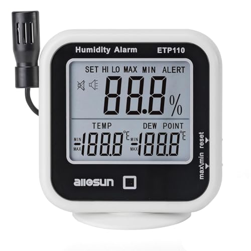
ALLOSUN Digital Thermometer Hygrometer Indoor Humidity Greenhouse Temperature Monitor Alarm Long Probe Gauge Dew-Point Meter with LCD Display
Display the temperature, relative humidity and dew point. It can be operated easily and be ideal instruments for…
As an affiliate, we earn on qualifying purchases.
As an affiliate, we earn on qualifying purchases.
Frequently Asked Questions
How Accurate Are Dewpoint-Based Cloudbase Estimates Compared to Other Methods?
Dewpoint-based cloudbase estimates are fairly accurate for general purposes, but their accuracy comparison to other methods can vary. You rely on the data’s reliability, which influences how precise your calculations are. While dewpoint methods are quick and useful, they might not match the precision of more advanced tools like LIDAR or radar. Overall, they give a good approximation, especially when other data isn’t available.
Can These Methods Be Used in All Climate Zones Effectively?
You might think dewpoint and temperature methods work everywhere, but climate zone variability impacts their effectiveness. In humid regions, they’re reliable, providing clear cloudbase estimates. However, in dry or extreme climates, these methods struggle because of limited moisture data, reducing regional applicability. So, while useful in some zones, you should consider other approaches or local conditions to guarantee accurate cloudbase predictions across diverse climate zones.
What Are Common Errors When Applying Dewpoint and Temperature Data?
When applying dewpoint and temperature data, you might encounter measurement inaccuracies caused by faulty sensors or calibration issues. Additionally, poor data resolution can lead to errors, especially if your measurements are infrequent or coarse. These issues can skew cloudbase estimations, so always verify your instruments are calibrated properly and use high-resolution data whenever possible to improve accuracy and reduce errors.
How Do Weather Conditions Like Humidity Affect Cloudbase Estimations?
Humidity influence substantially impacts cloudbase estimations, as high humidity levels lower the dewpoint, resulting in a lower cloudbase. Conversely, low humidity can cause overestimation, as drier air requires more cooling for clouds to form. Atmospheric variability, including sudden changes in humidity, adds uncertainty to calculations. You should account for these fluctuations to improve accuracy, especially during unstable weather, to better predict cloud formation and altitude.
Are There Specific Tools or Software That Facilitate These Calculations?
Yes, you can use software tools like Skew-T log-P diagrams, METAR analysis apps, or specialized meteorological software to facilitate cloudbase calculations. These tools enhance calculation accuracy by automating complex data analysis and providing precise readings based on dewpoint and temperature data. They save time, minimize human error, and improve reliability, making it easier for you to estimate cloudbase height accurately, especially under varying weather conditions.
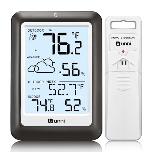
Indoor Outdoor Thermometer Wireless Weather Station, Temperature Humidity Monitor Battery Powered Inside Outside Thermometers with 330ft Range Remote Sensor and Backlight Display(Metal Black)
HIGH-PRECISION TEMPERATURE HUMIDITY GAUGE – Our air indoor thermometer and hygrometer has a Swiss-made high-precision sensirion sensor that…
As an affiliate, we earn on qualifying purchases.
As an affiliate, we earn on qualifying purchases.
Conclusion
By mastering dewpoint and temperature data, you hold the key to revealing the sky’s hidden secrets. Think of each cloud as a whisper from the heavens, a fleeting message waiting to be understood. When you accurately estimate cloudbase, you’re not just reading numbers—you’re opening a window to nature’s silent poetry. Embrace these methods, and let your insights become the compass guiding you through the ever-changing sky’s silent symphony.
cloudbase estimation tools
As an affiliate, we earn on qualifying purchases.
As an affiliate, we earn on qualifying purchases.
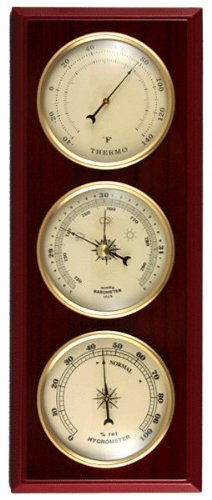
Ambient Weather YG315 Cherry Finish Dial Traditional Weather Station
Can be hung horizontal or vertical
As an affiliate, we earn on qualifying purchases.
As an affiliate, we earn on qualifying purchases.