
TL;DR
Listen free for 30 days with Audible
Thousands of audiobooks and originals — cancel anytime.
Start your free trialAs an affiliate, we earn on qualifying purchases.
Shinjuku Station in Tokyo has introduced a comprehensive 3D digital model accessible to the public. This development aims to improve navigation and station management. Details about the model’s capabilities and future plans are still emerging.
Tokyo’s Shinjuku Station has officially unveiled a detailed 3D digital model of its complex layout. The model, accessible via the station’s official app and digital kiosks, aims to enhance passenger navigation and streamline station operations. This marks a significant step in integrating digital technology into one of the world’s busiest transportation hubs, affecting millions of daily commuters and visitors.
The 3D model was developed by the East Japan Railway Company (JR East) in collaboration with local tech firms. It provides an interactive, high-resolution visualization of the station’s multiple levels, platforms, exits, and surrounding infrastructure, similar to how digital models are used in other contexts. According to JR East officials, the model is designed to help travelers better understand the station’s complex layout, especially during peak hours or emergencies.
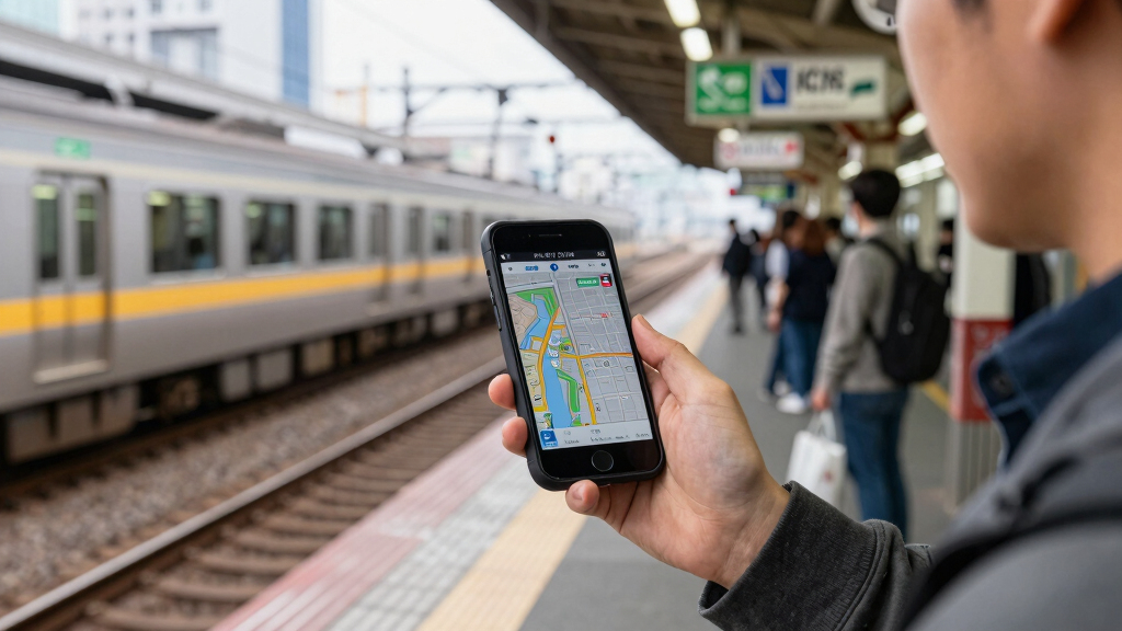
It is accessible through the official JR East app, which offers features such as route planning, real-time train information, and station navigation. The digital model is also displayed on large screens within the station, allowing passengers to view detailed 3D maps in real-time. The project is part of broader efforts to digitize station management and improve passenger experience amid increasing congestion and urban development pressures.
While the initial rollout is focused on Shinjuku Station, officials indicate plans to expand similar digital models to other major stations in Tokyo and across Japan. The technology used includes advanced 3D mapping, augmented reality, and real-time data integration, similar to features found in outdoor stations that enhance user experience.
The introduction of a 3D digital model at Shinjuku Station represents a notable advancement in urban transit infrastructure. It is expected to reduce passenger confusion in one of the world’s most complex stations, especially for tourists and first-time visitors. Additionally, the model could improve operational efficiency by aiding staff in managing crowds, directing emergency responses, and planning upgrades.
This initiative exemplifies Japan’s broader push toward smart city solutions, emphasizing the integration of digital technology into daily urban life. It also sets a precedent for other major transit hubs worldwide seeking to modernize and enhance user experience through immersive digital tools.
As an affiliate, we earn on qualifying purchases.
Digital Innovation in Tokyo’s Transit Hubs
Tokyo’s transit system is renowned for its complexity, with Shinjuku Station serving over 3.5 million passengers daily. Previous efforts to improve navigation included simplified signage and mobile apps, but the station’s intricate layout has remained challenging for many users.
In recent years, there has been a push to incorporate digital solutions, such as augmented reality and 3D mapping, to assist travelers. The development of a comprehensive 3D model aligns with Japan’s national strategy to promote smart city technologies and enhance transportation infrastructure.
This project follows similar initiatives in other global cities, where digital twins and 3D mapping are used to streamline transit operations and improve passenger experience.
“The 3D digital model is designed to make navigating Shinjuku Station easier and safer for all passengers.”
— JR East spokesperson
Details on User Interaction and Future Expansion
It is still unclear how extensively the digital model will be integrated into daily operations or if it will include augmented reality features for public use. The timeline for expanding similar models to other stations has not been publicly confirmed. Additionally, the long-term impact on passenger flow and safety measures remains to be studied.
Next Steps for Digital Station Enhancements
JR East plans to monitor user feedback and operational data over the coming months to assess the effectiveness of the 3D model. There are indications of expanding the technology to other stations and integrating additional features such as AR-guided navigation. Further updates on these developments are expected in the next quarter.
Key Questions
How can passengers access the 3D digital model?
The model is available through the official JR East mobile app and digital kiosks within Shinjuku Station.
Will the 3D model be available in multiple languages?
Yes, the digital platform supports several languages, including English, Japanese, Chinese, and Korean, to assist international travelers.
Does the model include real-time train information?
Yes, the model is integrated with real-time data, allowing users to see train schedules and platform information alongside the 3D map.
Are there plans to expand this technology to other stations?
Officials have indicated plans to introduce similar digital models at other major stations in Tokyo and nationwide, but specific timelines are not yet confirmed.
What are the benefits of the 3D model for station staff?
The model can assist staff in crowd management, emergency response, and station maintenance planning, improving overall efficiency and safety.
Source: hn
Labor Day sales Picks
labor day deals
As an affiliate, we earn on qualifying purchases.