
In basic meteorology, thermals are upward currents of warm air caused by surface heating, which become buoyant and rise through cooler surrounding air. Lift occurs when these thermals continue to ascend, often influenced by pressure changes; low-pressure areas encourage rising air and cloud formation, while high-pressure zones suppress it. Tracking pressure shifts and cloud patterns helps understand local weather and atmospheric stability. Keep exploring, and you’ll uncover how these processes shape weather phenomena and their significance in forecasting.
Key Takeaways
- Thermals are upward currents of warm, moist air caused by surface heating and buoyant rise.
- Rising air cools and condenses at dew point, forming clouds and indicating thermal activity.
- Low-pressure systems promote thermals and cloud formation, while high-pressure suppresses vertical air movement.
- Changes in atmospheric pressure signal shifts in thermal strength and weather patterns.
- Monitoring cloud development, pressure, and wind helps understand lift mechanisms and forecast weather.
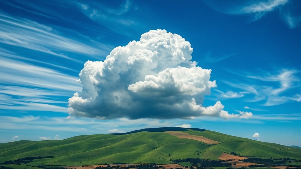
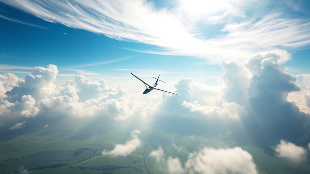
Have you ever wondered how weather forecasts are made? It all starts with understanding the basic principles of thermals and lift, which are essential for predicting weather patterns. One key aspect is cloud formation, which depends heavily on the movement of warm air and the changes in atmospheric pressure. When the sun heats the Earth’s surface, it causes the air directly above it to warm up. This warm air becomes less dense and starts to rise because of buoyancy. As it ascends, the air expands and cools due to lower atmospheric pressure at higher altitudes. When the cooling reaches the dew point, water vapor condenses around tiny particles in the air, forming clouds. This process is fundamental to weather forecasting because it indicates where and when clouds might develop, signaling potential rain or storms. Understanding these processes helps meteorologists better interpret atmospheric conditions and anticipate weather changes.
Atmospheric pressure plays an essential role in this process. High-pressure systems tend to suppress cloud formation, leading to clear skies, while low-pressure systems encourage rising air, cloud development, and potential precipitation. These pressure systems are indispensable for meteorologists to track, as they influence the movement of air masses and the formation of thermals. When atmospheric pressure drops, it indicates that air is rising, which can lead to the development of cumulus clouds—those fluffy, white clouds often seen on sunny days. Conversely, rising pressure suggests sinking air, usually associated with fair weather and stable conditions. By analyzing changes in atmospheric pressure, meteorologists can predict when thermals will intensify, weaken, or shift, providing insight into upcoming weather changes.
Understanding the connection between cloud formation and atmospheric pressure helps you grasp how weather systems evolve. When warm, moist air rises into areas of low pressure, it cools and condenses into clouds, often leading to showers or storms. On the other hand, in high-pressure zones, sinking air prevents cloud formation, resulting in dry, stable weather. This dynamic is what drives many weather patterns, from thunderstorms to clear skies. For weather forecasts, meteorologists monitor these variables continuously—tracking pressure changes, observing cloud development, and analyzing wind patterns—to anticipate how thermals will behave and where lift will occur. Recognizing the signs of rising or falling atmospheric pressure and their impact on cloud formation allows for more accurate predictions, helping you prepare for what the weather might bring. Whether you’re planning outdoor activities or just curious about the skies, understanding these basics gives you a clearer picture of how weather truly works behind the scenes.
Frequently Asked Questions
How Do Thermals Differ Between Different Climates?
You’ll notice that thermals differ across climates because climate variation influences their thermal intensity. In warmer, arid regions, thermals are stronger and rise more quickly due to intense surface heating. Conversely, in cooler, moist climates, thermals tend to be weaker and less frequent. These differences affect activities like soaring or gliding, where understanding thermal behavior helps you optimize your flight or navigation strategies based on local climate conditions.
Can Thermals Be Predicted With High Accuracy?
You can predict thermals with moderate accuracy by considering thermal variability and using thermal detection methods like thermal cameras, weather balloons, and ground-based sensors. While these tools improve prediction, weather conditions and local terrain cause some unpredictability. You should stay updated on real-time data and forecasts, as thermals are influenced by factors like sunlight, humidity, and surface features, making precise predictions challenging but achievable with current technology.
What Role Do Thermals Play in Weather Forecasting?
Thermals play a vital role in weather forecasting by driving thermal cycles and thermal convection. As you observe rising warm air, you can predict local weather patterns, such as cloud formation and storm development. Thermals influence cloud dynamics and precipitation, helping forecasters understand how heat transfer affects weather. Recognizing thermal convection patterns enables more accurate predictions of short-term changes, especially in clear, sunny conditions where thermals are most active.
How Do Thermals Affect Aviation Safety?
Thermals can substantially impact your aviation safety by causing thermal turbulence, which may jostle your aircraft unexpectedly. You should rely on thermal detection methods, like onboard radar or pilot reports, to identify rising warm air pockets. Being aware of thermals allows you to adjust altitude or route, minimizing turbulence effects. Staying vigilant about thermal activity helps guarantee a smoother, safer flight experience for you and your passengers.
Are Thermals Visible to the Naked Eye?
Thermals are generally not visible to the naked eye, but you can spot thermal indicators like dust devils, rising smoke, or shimmering heat waves on the ground. Sometimes, you might notice a patch of disturbed or wavy air that hints at thermal activity. These visibility cues help pilots and meteorologists identify thermal visibility, aiding in flight planning and safety. Keep an eye out for these signs during your outdoor activities.
Conclusion
Now that you understand thermals and lift, you see how nature’s gentle giants – warm air rising – can propel you skyward like a bird. It’s a delicate dance between warmth and wind, chaos and calm. Just as a kite soars effortlessly on a breeze, you harness these invisible currents to elevate your flight. With this knowledge, you’re not just a passenger; you’re part of the sky’s quiet, powerful orchestra.