
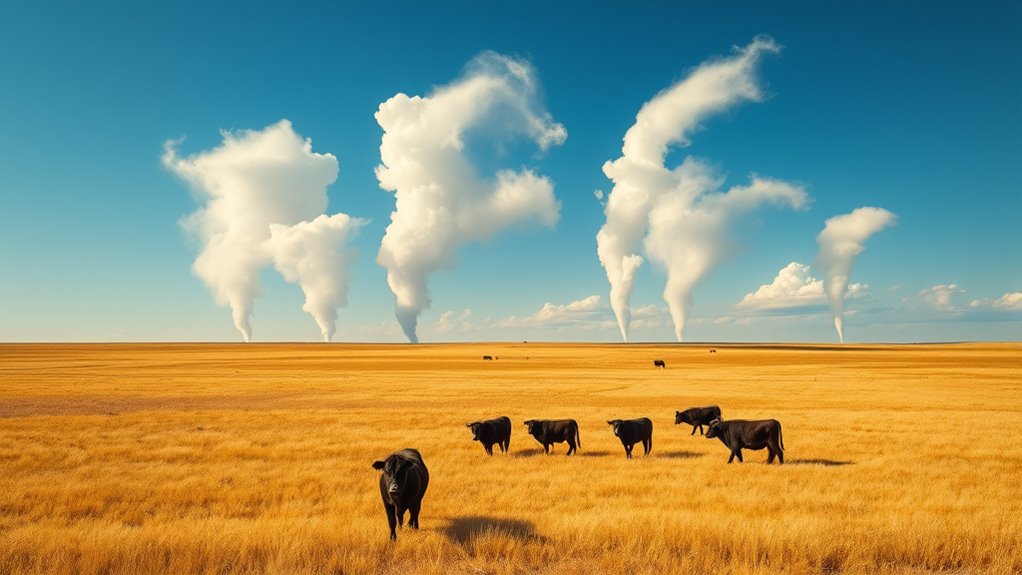
Canadian prairie thermals are crucial for the ecosystem, aiding birds and insects while shaping weather patterns. Detecting these transient heat updrafts is challenging due to their unpredictability and interference from urban and environmental factors. Innovative tools like drone thermal imaging, satellite data, and remote sensing help map and monitor these giant updrafts effectively. Exploring recent advancements reveals how these thermals influence wildlife, climate, and landscape, offering insights you’ll uncover fully as you continue exploring.
Key Takeaways
- Thermal updrafts in the prairies support bird and insect soaring, aiding migration and energy conservation.
- Advanced tools like drone and satellite imaging enable precise mapping of thermal patterns across large areas.
- Remote sensing and ground-based sensors detect thermal anomalies and monitor environmental influences on thermals.
- Recent research highlights terrain, vegetation, and humidity as key factors shaping thermal behavior.
- Mapping thermals informs ecosystem management, weather prediction, and renewable energy development in prairie regions.
The Significance of Thermal Updrafts in the Prairie Ecosystem
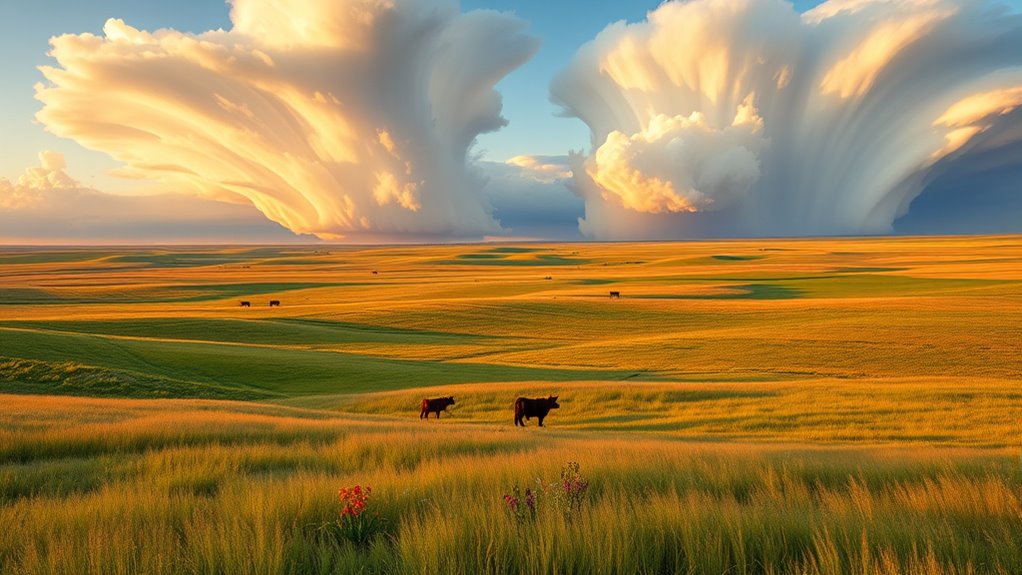
Thermal updrafts play a vital role in shaping the prairie ecosystem by providing soaring opportunities for birds and insects. These warm rising air currents help creatures like raptors and pollinators stay aloft with less effort. Plants have adapted to this dynamic environment by developing deep root systems that access soil moisture even during dry periods, ensuring their survival amidst temperature fluctuations that influence thermal formation. The availability of soil moisture affects how strong and consistent thermal updrafts become, creating reliable lift for soaring species. Additionally, the visual clarity of the environment is enhanced by these thermal currents, which can influence local weather patterns. Without these updrafts, many prairie inhabitants would struggle to find food or migrate efficiently. In turn, the plants and animals of the prairie thrive thanks to this natural phenomenon, maintaining a delicate balance within the ecosystem.
Challenges in Detecting and Tracking Prairie Thermals

Detecting and tracking prairie thermals pose significant challenges because these updrafts are often unpredictable and transient, making them difficult to observe consistently. Urban heat from nearby towns can create false signals, complicating thermal identification. Atmospheric pollution further obscures thermal patterns, reducing visibility and accuracy. These factors cause thermals to vary rapidly in strength and location, requiring constant monitoring. Additionally, the fluctuating surface conditions, such as crop growth or moisture levels, influence thermal development unpredictably. You must contend with the dynamic environment, where subtle changes can alter thermal behavior. Without advanced tools or precise observation techniques, pinpointing and following prairie thermals becomes a complex task—highlighting the need for innovative solutions to overcome these natural and human-made obstacles.
Innovative Technologies for Thermal Mapping
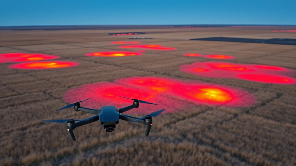
You can now explore how drone-based thermal imaging offers detailed, real-time data for prairie thermals. Integrating satellite data further enhances coverage and accuracy across vast areas. Combining these technologies transforms thermal mapping into a more precise and efficient process. Additionally, thermal imaging techniques can help identify specific heat patterns and variations within the prairie landscape.
Drone-based Thermal Imaging
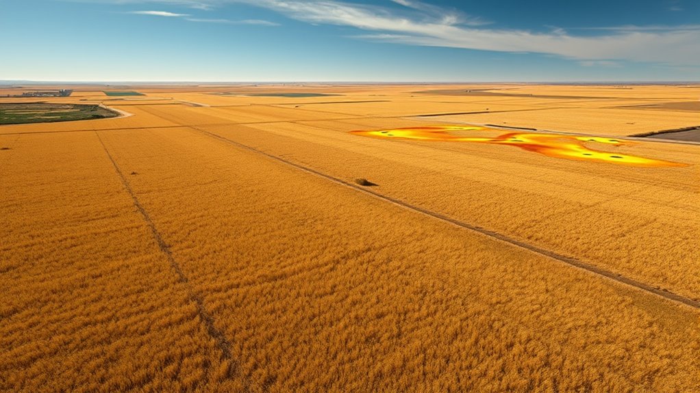
Drone-based thermal imaging has revolutionized how you map and monitor thermal activity across the Canadian Prairies. With these drones, you can detect subtle temperature differences that influence thermal wind patterns and cloud formation. By flying low over vast fields, you gather high-resolution thermal data that reveal hot spots and thermal updrafts associated with giant prairie thermals. This technology allows you to track how thermal winds develop and how they shape cloud formation, providing real-time insights into atmospheric dynamics. You can quickly identify areas where thermals intensify or weaken, helping to understand their role in weather and climate processes. Additionally, understanding GMC tuning techniques can assist in optimizing drone equipment for better thermal data collection. Drone-based thermal imaging offers precise, efficient, and flexible monitoring, transforming our ability to study and interpret the giants of prairie thermals.
Satellite Data Integration
How can integrating satellite data enhance thermal mapping across the Canadian Prairies? By combining satellite imagery with thermal sensors, you gain an all-encompassing view of surface temperature variations over vast areas. This integration reveals historical climate patterns, helping you understand long-term trends and seasonal shifts. For agricultural land management, satellite data offers real-time insights into crop health, soil moisture, and heat stress, enabling better decision-making. You can monitor thermal anomalies that indicate drought stress or pest infestations early. Satellite technology also improves mapping accuracy by filling gaps left by drone or ground-based methods. Additionally, automation in data analysis facilitates faster processing and more precise thermal maps. Overall, this approach allows you to develop precise, large-scale thermal maps that support sustainable farming practices and climate resilience across the Prairies.
The Role of Drone Surveillance and Aerial Imaging

Although traditional methods remain important, drone surveillance and aerial imaging have become essential tools for monitoring the Canadian Prairie thermals. You can now track changes caused by urban expansion and agricultural runoff more effectively. Drones provide high-resolution images that reveal subtle shifts in thermal patterns, helping identify hotspots linked to human activities. They also allow for rapid assessment after weather events or environmental disturbances. By flying over large areas quickly, you gain detailed insights that ground surveys might miss. This technology helps pinpoint where thermal activity intersects with expanding cities or farms, enabling better management. Advanced imaging allows for even more precise detection of thermal anomalies, enhancing monitoring capabilities.
Satellite Data and Remote Sensing Techniques
Satellite imaging technologies enable you to monitor prairie thermals over large areas efficiently. These tools help detect thermal anomalies that indicate rising warm air currents. By using remote sensing techniques, you gain critical insights into thermal patterns and their impact on local weather. Additionally, paint sprayer tips can be used to refine the application of coatings on equipment used in remote sensing stations, ensuring optimal performance in diverse environmental conditions.
Satellite Imaging Technologies
Have you ever wondered how scientists monitor the vast Canadian Prairie for thermal activity? Satellite imaging technologies are essential tools, providing detailed data from space. They capture thermal variations, helping us understand how solar flares and space weather influence prairie thermal patterns. Using remote sensing, researchers can detect subtle temperature changes and track thermal anomalies over large areas. These satellites use multispectral sensors to analyze Earth’s surface, offering high-resolution images that reveal thermal structures. Analyzing thermal variations with these sensors enables precise monitoring of temperature fluctuations across the prairie landscape.
- Thermal infrared sensors highlight heat signatures
- Satellites monitor space weather impacts on Earth’s atmosphere
- Data helps predict thermal activity trends
- Real-time imaging allows quick response
- Advanced algorithms improve accuracy in identifying thermal giants
This technology deepens our understanding of prairie thermals and their connection to solar phenomena.
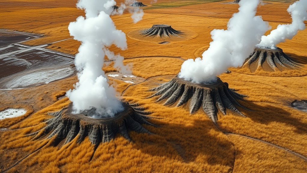
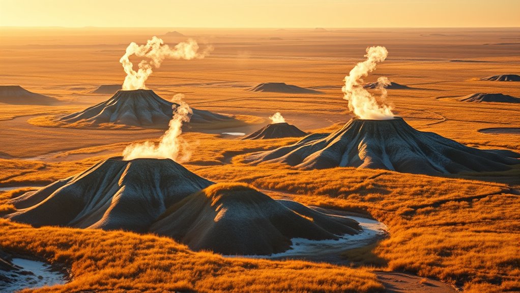
Thermal Anomaly Detection
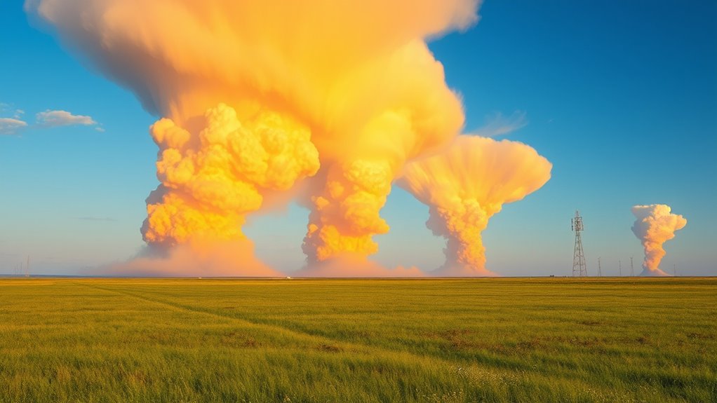
Ever wonder how scientists identify unusual thermal activity across the vast Canadian Prairie? They use thermal anomaly detection techniques that analyze satellite data to spot abnormal heat signatures. When a thermal plume appears, it indicates a significant release of heat, often related to geothermal activity or natural underground vents. By comparing current satellite images with historical data, researchers can pinpoint areas where heat signatures stand out from the background. Advanced remote sensing tools filter out normal variations, highlighting anomalies that merit further investigation. This process allows scientists to track how thermal plumes evolve over time, revealing hidden geothermal features or underground heat sources. Understanding the thermal properties of the region helps improve the accuracy of anomaly detection methods. Ultimately, thermal anomaly detection helps map the region’s geothermal landscape, uncovering the giants beneath the prairie’s surface.
Ground-Based Weather Stations and Their Contributions
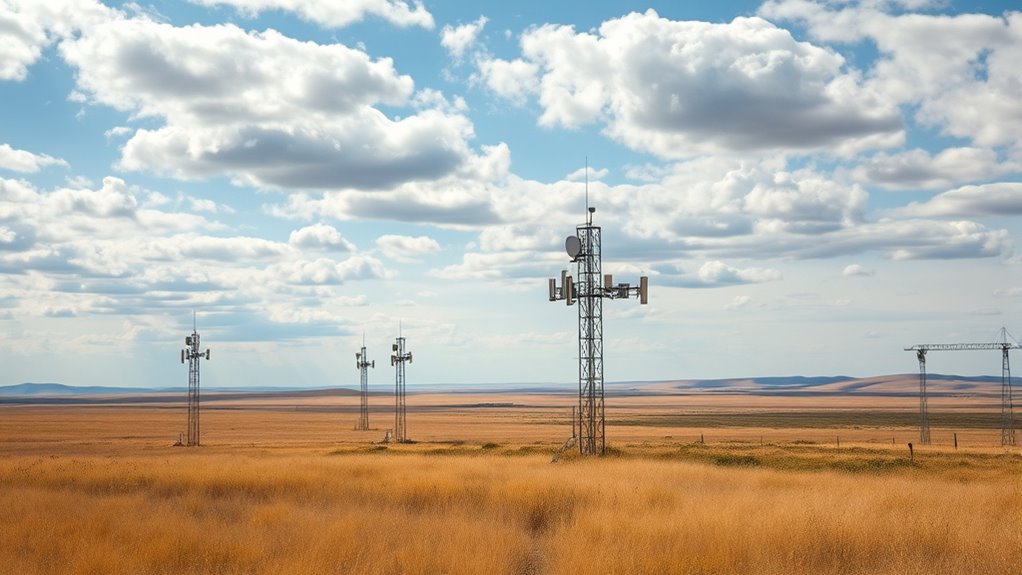
How do ground-based weather stations enhance our understanding of prairie thermals? They provide real-time data on temperature, humidity, and soil moisture, which are essential for studying thermal activity. This info helps you see how soil moisture influences thermal rising, as dry soils heat faster, creating stronger thermals. Additionally, weather stations track plant respiration, revealing how vegetation responds to thermal fluctuations. Monitoring atmospheric conditions is crucial for understanding the development of thermals, as it impacts their frequency and strength. These stations give you a detailed, on-the-ground perspective, making it easier to understand the dynamics of prairie thermals and their role in the ecosystem.
Data Integration and Modeling Approaches
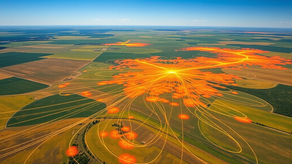
Integrating data from ground-based weather stations with advanced modeling approaches allows for a thorough understanding of prairie thermals. By combining real-time thermal energy measurements with sophisticated models, you can simulate thermal behavior and predict their movement more accurately. Data visualization tools help you interpret complex datasets, revealing patterns and hotspots that influence thermal development. These approaches enable you to identify key variables affecting thermal strength, height, and duration, improving your overall mapping accuracy. Modeling techniques, such as computational fluid dynamics, help you understand how thermals interact with terrain and atmospheric conditions. This integration not only enhances your comprehension of thermal dynamics but also supports better forecasting, conservation, and research efforts in prairie environments.
Recent Discoveries and Insights Into Thermal Behavior
Recent research has uncovered new insights into prairie thermal behavior, revealing complex interactions between atmospheric conditions and terrain features that influence thermal development. You now understand that thermal energy results from the uneven heating of prairie terrain, which creates rising thermals. Recent studies show that prairie flora plays a role in shaping thermal patterns, offering surface roughness and moisture variations that affect thermal formation. These discoveries help explain why some thermals grow larger and last longer.
Recent findings reveal prairie flora and terrain features significantly influence thermal development and longevity.
- Prairie flora influences thermal energy by providing surface heterogeneity
- Terrain elevation changes can intensify or weaken thermals
- Atmospheric humidity impacts thermal strength and stability
- Wind patterns help determine the direction and size of thermals
- Soil moisture levels contribute to thermal initiation and longevity
Impacts of Thermals on Local Climate and Wildlife
The thermal patterns shaped by prairie flora and terrain features directly influence local climate conditions and the behavior of wildlife. These thermals can cause thermal pollution, disrupting natural temperature cycles and affecting species adapted to stable environments. In prairie agriculture, thermals impact crop growth by altering soil and air temperatures, sometimes causing stress or growth delays. Wildlife relies on thermal cues for migration, foraging, and nesting; shifts in thermal patterns can lead to behavioral changes or habitat shifts. As thermals become more prominent, they may intensify local climate variability, influencing plant and animal interactions. Understanding these thermal influences helps you appreciate their role in shaping prairie ecosystems, revealing how natural and human activities intertwine to impact the delicate balance of the prairie environment.
Future Directions in Prairie Thermal Research
As researchers look to the future, advancing technologies and interdisciplinary approaches promise to deepen our understanding of prairie thermals. You’ll see new tools like high-resolution remote sensing and data modeling enhancing how we study thermal patterns. These insights can directly impact agricultural planning, helping optimize crop placement and irrigation by predicting thermal activity. Additionally, understanding thermals better supports renewable energy development, such as wind and solar projects, by identifying ideal locations and times for energy capture. Researchers will also explore climate change effects on thermal dynamics, guiding adaptation strategies. Collaborations across meteorology, ecology, and engineering will accelerate discoveries. Overall, these efforts will improve land use strategies, promote sustainable energy, and foster resilient agricultural systems in prairie regions.
Frequently Asked Questions
How Do Prairie Thermals Influence Local Agricultural Practices?
Prairie thermals markedly influence your local agricultural practices by affecting crop management and irrigation planning. When thermals rise, they signal changes in weather, helping you predict wind patterns and temperature shifts. This knowledge allows you to optimize irrigation schedules and crop placement, reducing water waste and improving yields. By understanding thermal activity, you can make better decisions, ensuring your farm adapts efficiently to the dynamic prairie environment.
Can Thermal Patterns Predict Weather Changes on the Prairie?
It’s ironic, but thermal patterns can actually help you predict weather changes on the prairie. Thermal forecasting uses surface temperature variations to anticipate shifts in weather, making it a useful tool for weather prediction. By studying these patterns, you can gain insights into upcoming storms or clear skies, turning what seems like simple heat maps into powerful indicators. So, yes, thermal patterns can indeed forecast weather changes—if you know how to read them.
What Are the Economic Benefits of Mapping Prairie Thermals?
Mapping prairie thermals offers significant economic benefits by enhancing economic modeling and supporting tourism development. You can attract eco-tourists and outdoor enthusiasts enthusiastic to explore unique thermal patterns, increasing local revenue. Accurate thermal data also helps farmers and energy companies optimize land use and resource management, boosting regional growth. Overall, understanding prairie thermals drives economic activity, creates jobs, and promotes sustainable development in prairie communities.
How Do Prairie Thermals Impact Bird Migration Routes?
Think of prairie thermals as invisible highways guiding bird migration, like a GPS for flight paths. These thermal corridors influence bird navigation by providing rising warm air that helps birds gain altitude with less energy. When mapped, they reveal critical migration routes, ensuring birds efficiently travel across vast landscapes. Without understanding these thermals, we risk disrupting essential migration patterns, jeopardizing bird populations and the delicate balance of our ecosystems.
Are There Any Indigenous Methods for Tracking Prairie Thermals?
You might wonder if indigenous tracking methods are used to monitor prairie thermals. Indigenous communities rely on traditional observation techniques, such as watching the sky and noting wind patterns, to understand thermal movements. These methods are deeply rooted in their knowledge systems, allowing them to interpret natural signs accurately. By applying indigenous tracking, you gain valuable insights into thermal behaviors, which can enhance understanding of bird migration and ecological dynamics in prairie landscapes.
Conclusion
As you explore the world of prairie thermals, you’ll find that these gentle giants quietly shape the land and life around them. With each new discovery, you get closer to understanding their subtle influence, much like uncovering a hidden story woven into the fabric of the prairie. Embracing innovative tools and insights, you’ll help preserve these delicate processes, ensuring their quiet magic continues to inspire and sustain for generations to come.