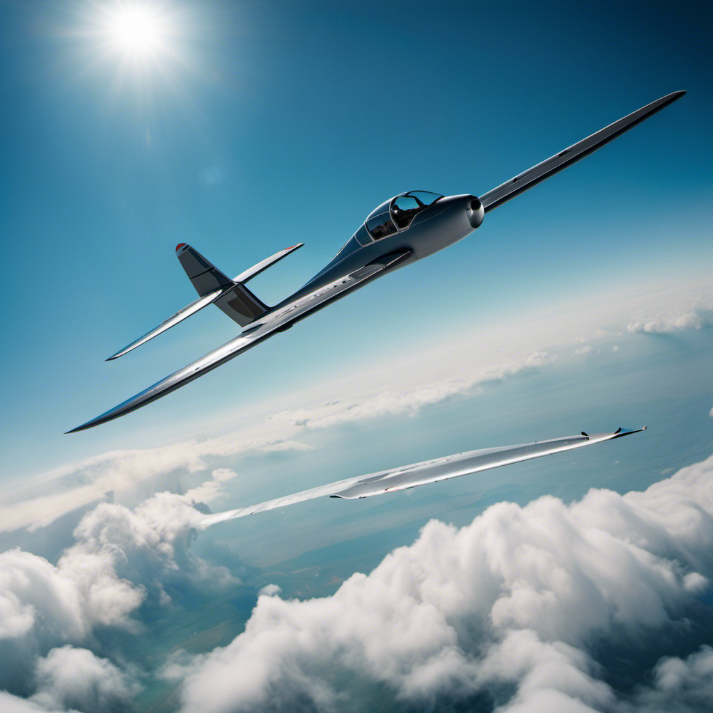
As a glider pilot, I have always found the intricate relationship between gravity and rising air fascinating. Did you know that thermals, invisible columns of warm air, can lift gliders up thousands of feet without the need for any engine power? It’s truly amazing!
In this article, I will share the secrets of how we glider pilots navigate and harness these thermals. With a combination of visual indicators, wildlife observations, landscape analysis, and advanced technology, we are able to soar effortlessly through the air, always on the lookout for the next thermal to carry us higher.
Key Takeaways
- Glider pilots analyze weather data from various sources to predict thermal activity.
- Understanding weather patterns allows glider pilots to navigate efficiently and stay airborne for longer durations.
- Continual enhancement of abilities, intuition, and technique is important for glider pilots.
- Glider pilots prioritize safety measures by thoroughly checking weather conditions and potential hazards.
Understanding Thermals and Updrafts
You’ll need to learn how thermals and updrafts work if you want to understand where glider pilots find them. As an experienced pilot, I can tell you that thermal detection is crucial for successful soaring.
Thermals are columns of warm air that rise from the ground, carrying gliders with them. To detect thermals, we look for certain indicators such as cumulus clouds, dust devils, or birds circling in a specific area.
Updrafts, on the other hand, are pockets of rising air caused by various factors like terrain features or wind patterns. These updrafts can be detected through careful observation and experience.
Utilizing Visual Indicators
Using visual indicators, glider pilots can easily spot the presence of thermals while flying. As an experienced pilot, I’ve learned to rely on certain cues to identify these invisible columns of rising air.
One of the most reliable indicators is bird behavior. Birds are highly skilled at finding thermals, and by observing their flight patterns, glider pilots can follow their lead. When birds are circling or soaring in a particular area, it’s a strong indication that a thermal is present.
Another visual indicator is cloud formations. Cumulus clouds, with their puffy and well-defined shape, often indicate the presence of thermals beneath them.
By keeping a keen eye on these visual cues, glider pilots can navigate the skies with precision and maximize their flying experience.
This knowledge seamlessly transitions into the subsequent section about observing birds and wildlife in their natural habitat.
Observing Birds and Wildlife
Observing birds in their natural habitat can provide valuable insights into the presence of thermals. As a glider pilot, I’ve learned to pay close attention to the behavior of birds. They are expert navigators of the sky. By observing wind patterns and studying atmospheric conditions, I can determine the locations of thermals.
Birds often circle and soar in areas where warm air is rising, indicating the presence of a thermal. They effortlessly ride these updrafts, gaining altitude and conserving energy. Their ability to find thermals is a testament to their understanding of the air currents and atmospheric conditions.
Reading the Landscape and Cloud Patterns
As a glider pilot, it’s important to pay attention to the landscape and cloud patterns to determine the best areas for gaining altitude and conserving energy. Utilizing topography and identifying cloud formations are key skills in finding thermals, which are pockets of warm air that can lift the glider to higher altitudes.
Here’s how I do it:
- I scan the landscape for telltale signs such as dark, exposed soil or areas of vegetation that absorb heat, indicating potential thermals.
- I look for cumulus clouds, which form above areas of rising warm air and can act as markers for thermals.
- I observe the shape and movement of the clouds, as well as any visible contrails from airplanes, which can indicate areas of lift.
By combining these observations, I can pinpoint areas where thermals are likely to be found.
Transitioning into the next section about using instruments and technology, I rely on these tools to further enhance my ability to find and exploit thermals.
Using Instruments and Technology
Combining the landscape and cloud patterns with instruments and technology enhances a glider pilot’s ability to find and exploit thermals. Infrared cameras and GPS tracking are two key tools that aid in this process.
Infrared cameras allow pilots to detect variations in temperature, which can indicate the presence of thermals. By capturing images of the landscape and analyzing the temperature patterns, pilots can identify areas where thermals are more likely to form.
GPS tracking, on the other hand, provides precise location information, allowing pilots to navigate to specific thermal sources. By inputting waypoints into the GPS system, pilots can follow a predetermined path that takes them through areas known for thermals.
These instruments and technologies greatly enhance a glider pilot’s efficiency and accuracy in locating thermals, increasing their chances of a successful flight.
Transitioning into the subsequent section, monitoring wind direction and speed is another crucial aspect of finding thermals without relying on luck or chance.
Monitoring Wind Direction and Speed
After utilizing various instruments and technology to gather information, I turn my attention to monitoring wind direction and speed. This crucial step in locating thermals requires a keen eye and an understanding of atmospheric conditions.
By observing the movement of clouds, the rustling of leaves, and the behavior of birds, I gain valuable insights into wind patterns. I analyze atmospheric conditions such as temperature differentials and gradients to identify areas where thermals are likely to form. By carefully observing these indicators and cross-referencing them with my instruments, I can determine the most favorable areas to find thermals.
This meticulous process allows me to maximize my chances of soaring effortlessly through the sky. As I complete this critical stage of my flight preparation, I am ready to move on to the next vital aspect of glider piloting: communicating with other pilots.
Communicating with Other Pilots
Before taking to the skies, it’s important for me to communicate with other pilots to ensure a safe and coordinated flight. Cross country navigation requires precise coordination and effective radio communication. Here are three reasons why this communication is crucial:
-
Safety: By communicating with other pilots, we can share information about potential hazards, such as restricted airspace or temporary flight restrictions, ensuring that we navigate safely.
-
Efficiency: Communicating with other pilots allows us to share valuable information about wind conditions, thermals, and optimal routes. This enables us to make more informed decisions and increase the efficiency of our cross country flights.
-
Collaboration: By staying in touch with other pilots, we can coordinate our flight paths and work together to identify and exploit thermals, maximizing our chances of gaining altitude and extending our flight duration.
In order to make informed decisions about where thermals may be, analyzing weather forecasts is crucial.
Analyzing Weather Forecasts
After communicating with other pilots to gather information about potential thermals, the next step is to analyze weather forecasts. This involves carefully examining data and predicting conditions that are conducive to thermal activity.
As a glider pilot, I rely on various sources of weather information, such as meteorological reports, satellite imagery, and computer models. I analyze parameters like temperature, wind direction, humidity, and atmospheric stability to identify areas where thermals are likely to form. This analysis allows me to plan my flight path strategically, maximizing my chances of encountering thermals and gaining altitude.
By understanding the weather patterns and using this knowledge to make informed decisions, I can navigate efficiently and stay airborne for longer durations. Analyzing weather forecasts is a crucial skill that enables glider pilots to anticipate thermals and make calculated flight plans.
Transitioning into the subsequent section about practicing and developing skill, it is important for glider pilots to continually enhance their abilities.
Practicing and Developing Skill
Transitioning into the subsequent section about practicing and developing skill, it’s important for glider pilots to continually enhance their abilities.
Developing intuition and honing technique are crucial aspects of becoming a proficient glider pilot. As I’ve gained more experience in flying, I’ve learned to trust my instincts when it comes to finding thermals. It’s not just about relying on instruments or following a predetermined flight path. Instead, it requires a deep understanding of the atmosphere and the ability to read subtle cues that indicate the presence of thermals.
By practicing flying in different weather conditions and analyzing my flight data, I’ve been able to refine my skills in detecting and utilizing thermals effectively. This continuous improvement is essential for maximizing altitude gain and optimizing flight performance.
Looking ahead, the next section will delve into the important safety precautions and pre-flight planning that every glider pilot must consider.
Safety Precautions and Pre-flight Planning
Planning a safe flight involves thoroughly checking the weather conditions and inspecting the glider for any potential issues. As a glider pilot, I understand the importance of taking safety measures and ensuring proper flight preparation.
Before each flight, I carefully review the weather forecast to identify any potential hazards such as strong winds, thunderstorms, or low visibility. Additionally, I conduct a thorough inspection of the glider, examining the control surfaces, landing gear, and instruments to ensure they are in optimal condition.
I also check the parachute and emergency equipment to ensure they are ready for use if necessary. By following these safety measures and conducting thorough flight preparation, I can mitigate potential risks and ensure a safe and enjoyable flight experience.
Frequently Asked Questions
How long can a thermal typically last and how far can it take a glider?
Thermals typically last between 15 minutes to a few hours, depending on atmospheric conditions. A glider can be carried by a thermal for hundreds of kilometers, allowing for long-distance flights and maximizing the glider’s range.
Can glider pilots use thermals to gain altitude in any weather condition?
As an experienced glider pilot, I can confidently say that glider pilots can use thermals to gain altitude in favorable weather conditions. By utilizing advanced glider pilot techniques and analyzing wind patterns, we can effectively locate and exploit thermals.
Are there any specific cloud formations that indicate the presence of a thermal?
Cloud formations can serve as thermal indicators for glider pilots. Cumulus clouds with a cauliflower-like appearance and vertical development often signal the presence of thermals. Additionally, lenticular clouds can indicate wave lift, another valuable source of altitude gain for gliders.
Is it possible to predict the strength of a thermal based on weather forecasts?
As an experienced glider pilot, I can confidently say that predicting the strength of thermals based on weather forecasts is possible. By analyzing atmospheric conditions, such as temperature and wind patterns, we can make informed predictions about thermal activity.
How do glider pilots communicate with each other during a flight to share information about thermals?
During a flight, glider pilots communicate with each other using radio communication techniques and hand signals. These methods allow us to share information about thermals, helping us navigate and optimize our flight paths.
Conclusion
In conclusion, mastering the art of finding thermals is a skill that glider pilots develop through experience, observation, and a deep understanding of their surroundings.
By utilizing visual indicators, such as bird behavior and cloud patterns, and by analyzing weather forecasts, pilots can increase their chances of locating these invisible columns of rising air.
But it is also important to remember that no two flights are the same, and each flight presents its own unique challenges.
So, like a seasoned detective following clues, glider pilots must always be ready to adapt and rely on their instincts to soar to new heights.


