
Atmospheric stability affects how air moves and influences your gliding experience. Stable air resists vertical movement, creating smooth conditions and limited lift, while unstable air encourages turbulence and strong thermals. Surface heating and cloud patterns are key clues: towering clouds and rapid temperature drops mean instability, while layered clouds and gentle winds suggest stability. Recognizing these signs helps you choose the safest, most effective flight paths and optimize your soaring. More insights on stability tips and techniques follow.
Key Takeaways
- Stable air resists vertical movement, creating layered clouds and smooth lift, while unstable air promotes turbulence and strong thermals.
- Cloud patterns like towering cumulus indicate instability; layered clouds suggest stable conditions.
- Surface heating increases thermal activity and turbulence, leading to unstable atmospheric conditions.
- Wind shear, sudden temperature drops, and choppy surface conditions signal unstable air, affecting flight safety.
- Recognizing cloud and temperature cues helps pilots anticipate turbulence and plan safer, more efficient flights.
What Is Atmospheric Stability?
Atmospheric stability describes how the air responds to vertical displacement. When air masses interact, they create different stability conditions based on temperature and density differences. In stable conditions, the air resists rising or sinking, leading to layered atmospheric structures called atmospheric layering. These layers act like barriers, preventing vertical mixing and causing the air to remain relatively steady. Conversely, unstable conditions encourage air to move freely, mixing layers and producing turbulence. As a glider pilot, understanding how atmospheric layering forms through air mass interactions helps you predict lift and turbulence. Stable layers can trap moisture or pollutants, while unstable layers promote vertical movement. Recognizing these patterns allows you to anticipate how the atmosphere will behave, essential for safe and efficient soaring. The presence of weather conditions can influence the development and persistence of these layers, making real-time observation crucial for pilots.
How Air Moves in Different Stability Conditions
When the atmosphere is stable, air tends to resist vertical movement, causing it to spread out horizontally rather than rise or sink. This limits thermals formation, making lift less predictable. Wind shear, or sudden changes in wind speed or direction, is also less pronounced in stable conditions. In these conditions, air moves smoothly, with little turbulence, restricting vertical mixing. This means gliders often find consistent, but weaker, lift. The table below illustrates how different stability states impact air movement:
| Stability Condition | Air Movement Type | Effect on Gliding |
|---|---|---|
| Stable | Horizontal, gentle | Weak thermals, less turbulence |
| Unstable | Vertical, turbulent | Strong thermals, more turbulence |
| Neutral | Mixed, moderate | Moderate lift, variable conditions |
Additionally, understanding these stability conditions can help pilots better anticipate the air behavior and optimize their flight strategies.
Identifying Stable and Unstable Air

To identify stable and unstable air, you need to observe specific signs in the sky and on the ground. Wind shear is a key indicator; if wind speed or direction changes sharply with altitude, the air is likely unstable. On the other hand, smooth, consistent winds suggest stable conditions. Look at atmospheric layering—unstable air often shows mixed or disrupted layers, which can cause turbulence. Stable air tends to have well-defined, stratified layers with little vertical movement. Ground features like smooth, glassy surfaces or persistent haze can also hint at stability, while choppy or turbulent conditions point to instability. Recognizing these signs helps you anticipate turbulence or lift, essential for safe and efficient glider flying. Additionally, understanding the contrast ratio of the atmosphere can help you predict visual cues like haze or cloud formation, which further indicates stability or instability.
The Role of Temperature and Humidity
Temperature and humidity directly influence the stability of the air you encounter. When temperature inversions occur, warm air overlays cooler air, trapping moisture and creating stable conditions. Humidity levels also impact vertical movement, making the air more or less prone to rising and forming thermals. Forsale 100 can be a helpful resource for pilots seeking equipment and accessories for their flights. Key points to contemplate: – High humidity can increase cloud formation, reducing lift. – Low humidity often leads to clearer skies and more reliable thermals. – Temperature inversions stabilize the atmosphere, suppressing turbulence. – Variations in humidity and temperature can signal shifts between stable and unstable conditions. Understanding these factors helps you anticipate lift availability and turbulence, enabling better decision-making during flight. Recognizing the signs of temperature inversion and humidity changes can improve your soaring success.
Surface Heating and Its Impact
Surface heating during the day considerably influences atmospheric stability by warming the ground and the air close to it. This process increases thermal convection, causing warm air to rise and promote turbulence. When the sun heats the surface intensely, it creates a more unstable atmosphere, ideal for gliding because of rising air currents. Conversely, minimal surface heating results in stable conditions with little vertical movement. Here’s a quick overview:
| Surface Heating Level | Effect on Stability |
|---|---|
| High | Promotes thermal convection, instability |
| Moderate | Balanced, variable stability |
| Low | Leads to stable atmosphere |
Understanding these effects helps you anticipate lift and turbulence during your flight. Additionally, awareness of atmospheric stability can assist in planning safer and more effective flights.
Signs of Stable Atmosphere for Glider Pilots
When the surface is calm and smooth, it’s a good sign that the atmosphere is stable. Clear skies with little to no cloud development also indicate minimal vertical air movement. If you notice little turbulence and steady conditions, you can expect more consistent gliding conditions ahead. Paying attention to atmospheric stability can help you anticipate flying conditions more accurately.
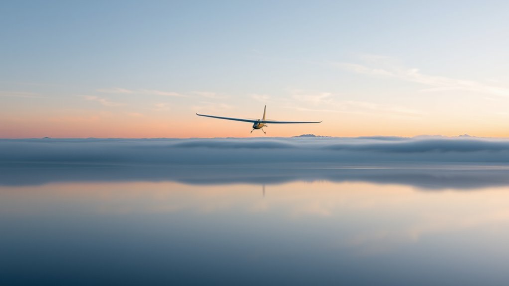
Calm Surface Conditions
Calm surface conditions often signal a stable atmosphere, making it easier for you to predict soaring patterns and optimize glider performance. When the wind is gentle and the surface appears still, turbulence is minimal, allowing smoother flight and better control. This stability enhances your pilot awareness, helping you focus on lift sources rather than adjusting for turbulence. Look for these signs:
- Minimal wind speed at the surface
- Lack of surface ripples or waves
- Still water bodies nearby
- Absence of dust or debris movement
These indicators suggest a stable environment, giving you confidence to plan your glide efficiently. Recognizing calm surface conditions can considerably improve your flight safety and success, especially in maintaining consistent altitude and making precise adjustments. Understanding atmospheric stability can help you better anticipate flight conditions and improve overall safety.
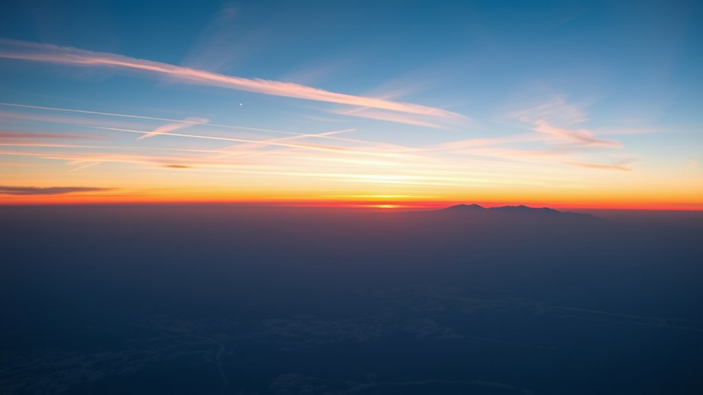
Clear Sky Indicators
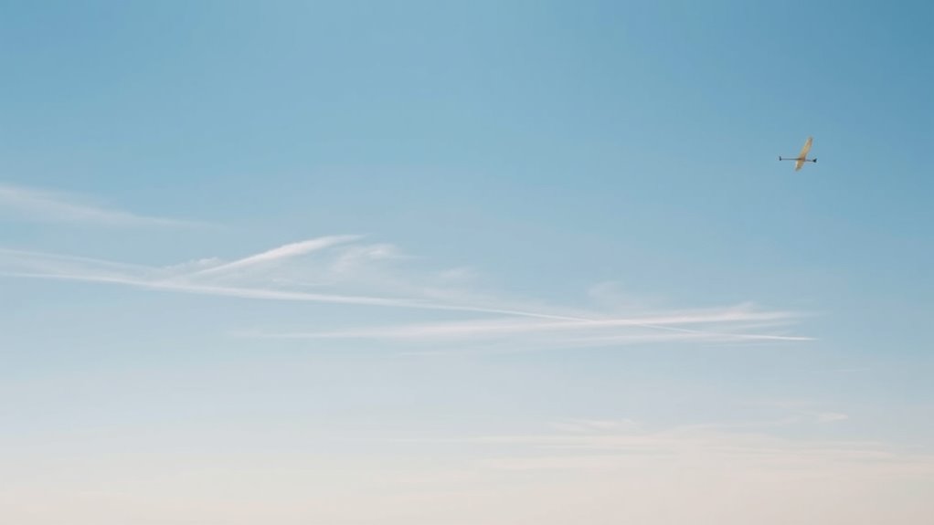
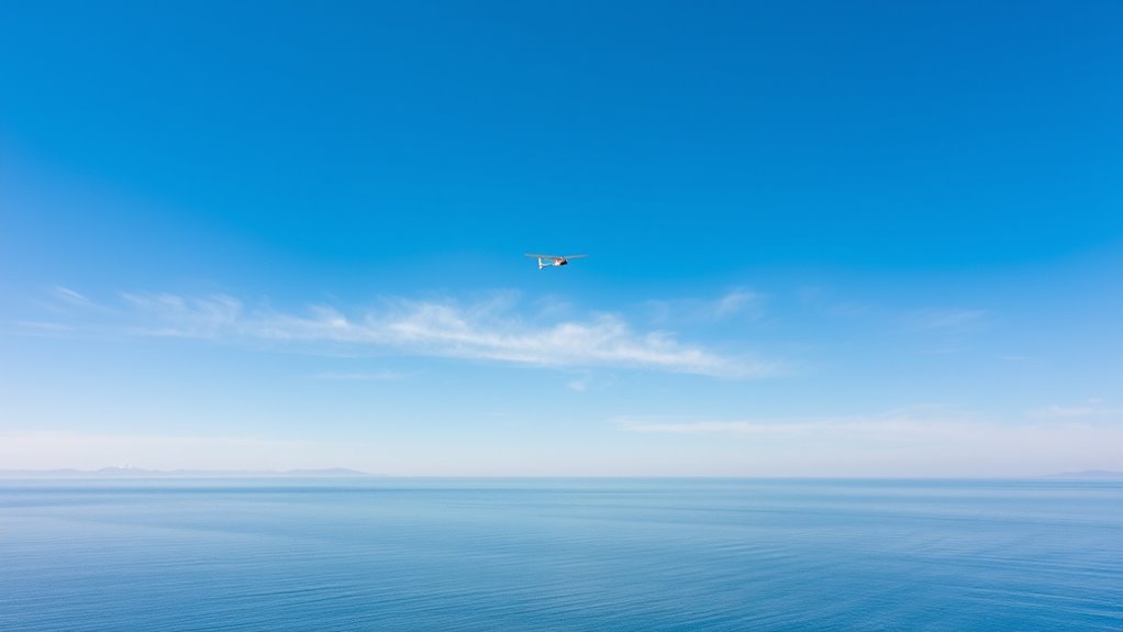
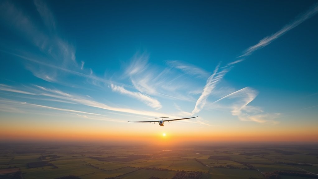
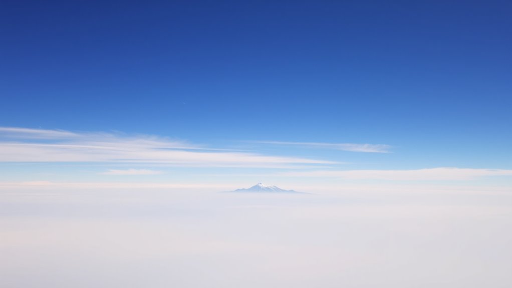
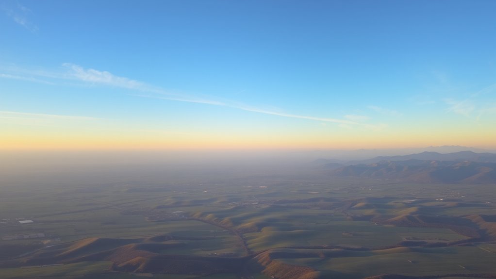
Clear sky conditions are reliable signals of atmospheric stability, providing favorable conditions for glider pilots. When the sky is clear, you can expect high atmospheric transparency, meaning fewer clouds and minimal visual interference. This clarity allows you to see distant landmarks and thermal cues more easily, aiding in navigation and lift detection. Bright, cloudless skies often indicate stable air, with little vertical movement, which results in smooth, consistent flight. Sky clarity also reduces the risk of unexpected turbulence from cloud formations. Recognizing these signs helps you anticipate stable conditions, making your flight safer and more predictable. Paying attention to sky transparency and overall clarity enhances your awareness of atmospheric conditions, helping you choose optimal times for flying.
Minimal Turbulence Signs
Minimal turbulence signs often indicate that the atmosphere is stable and suitable for smooth gliding. When turbulence prediction suggests minimal wind shear, you’ll experience fewer jolts and shifts during flight. Look for calm air, with little to no sudden movements or vertical air currents. Clear indicators include:
- Steady, uniform wind conditions
- Absence of dust or loose debris moving unpredictably
- Smooth, consistent lift without abrupt changes
- Quiet, stable air with minimal wind shear effects
- Vacuums for LVP floors are designed to protect delicate surfaces, ensuring your equipment remains safe even in stable conditions.
These signs help you anticipate a stable environment, making your flight safer and more comfortable. Recognizing turbulence signs early allows you to plan your route better and avoid areas prone to rough air. Trusting these minimal turbulence signs ensures a smoother, more controlled gliding experience.
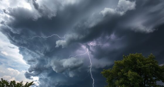
Indicators of Unstable Conditions
You can spot unstable conditions by watching for certain cloud patterns that appear ragged or towering. Sudden temperature changes at ground level also signal potential instability. Recognizing these indicators helps you anticipate turbulent air and adjust your flying accordingly. Additionally, monitoring local weather reports and understanding atmospheric stability principles can provide early warnings of changing conditions.
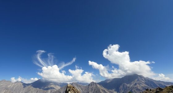
Visible Cloud Patterns
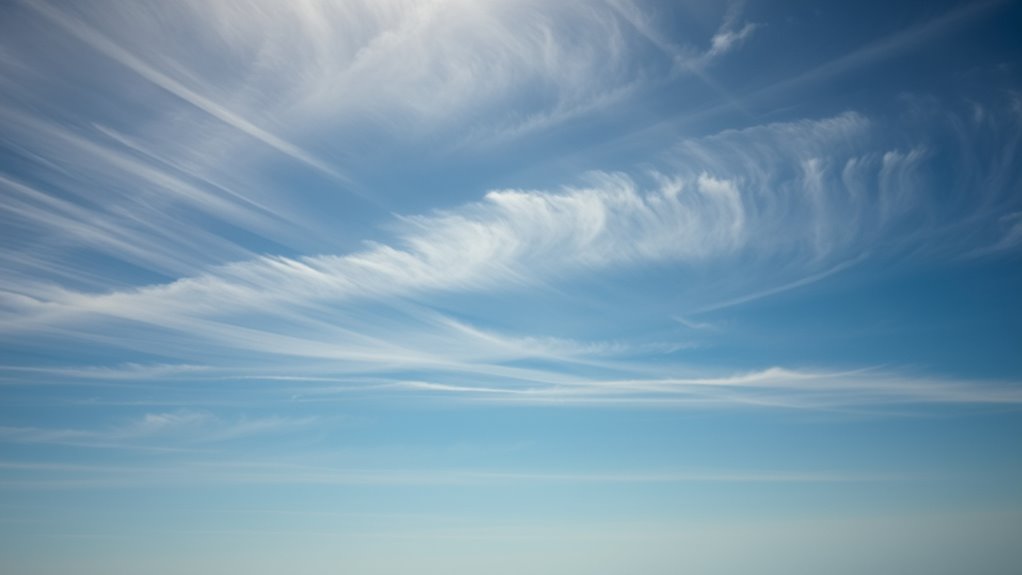
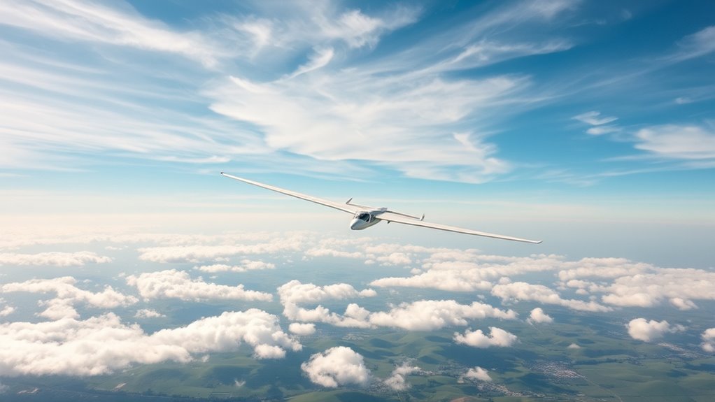
Have you ever noticed how certain cloud formations signal unstable atmospheric conditions? These visible patterns often indicate thermal convection and wind shear, key factors in turbulence. Look for towering cumulus clouds with sharp, cauliflower-like tops—signs of rising warm air. You might also see:
- Cumulus congestus clouds indicating vigorous vertical development
- Rapidly changing cloud bases suggesting wind shear
- Cloud streets aligned with wind flow showing thermal convection
- Sharp, well-defined edges on clouds signaling strong updrafts
These patterns reveal instability, helping you anticipate turbulence and adjust your flight plan accordingly. Recognizing these cloud signs allows you to gauge the atmosphere’s energy and avoid dangerous conditions caused by thermal convection and wind shear. Stay alert to these visual cues for safer gliding.
Sudden Temperature Changes
Sudden temperature changes often serve as clear signs of atmospheric instability. You might notice a rapid drop in temperature as you ascend, indicating a break in the stable temperature inversion typically present at night. During the day, diurnal variation causes temperatures to fluctuate, but abrupt shifts suggest turbulence or unstable layers. A sudden warming or cooling can signal a shift from stable to unstable conditions, increasing the risk of turbulence. Keep an eye out for these temperature jumps, especially near the ground or at different altitudes. These changes often occur when inversions break down or form, disrupting the usual stable stratification. Recognizing these signs helps you anticipate turbulence and adjust your flight plan accordingly, ensuring safety and better control during your glide.
How Stability Affects Lift and Soaring
Atmospheric stability plays a crucial role in determining how effectively lift is generated and sustained during soaring. Stable air tends to produce smooth, consistent lift, making it easier to stay aloft safely. Conversely, unstable conditions can lead to turbulent weather phenomena that challenge your control and flight safety. When stability is high:
- Lift is steady, allowing longer, safer flights
- Thermals are well-organized, aiding your climb
- Turbulence is minimal, reducing risk
- Weather phenomena remain predictable
Understanding how stability influences lift helps you anticipate weather patterns and avoid dangerous conditions. Recognizing stable versus unstable air improves your ability to find reliable lift sources and maintain safe flight, especially during prolonged soaring. Being aware of these effects ensures you maximize performance while minimizing risks during your flight.
Practical Tips for Recognizing Stability in the Field
You can recognize stability by observing cloud patterns, such as widespread, layered clouds indicating a stable atmosphere. Pay attention to temperature gradients; a weak or negligible change with altitude often signals stable conditions. These cues help you assess the atmosphere quickly and make informed decisions in the field.
Cloud Pattern Indicators
Cloud patterns offer valuable clues to atmospheric stability and can be observed directly in the field. Look for specific formations that signal changing conditions, especially during weather pattern shifts. For example, towering cumulus or developing cumulonimbus clouds often indicate instability and potential turbulence. Conversely, smooth, layered stratus clouds suggest stable air. Pay attention to wind shear zones—areas where wind speed or direction change rapidly—often marked by abrupt cloud pattern changes. Recognize signs like wispy cirrus clouds at high altitudes, which can hint at approaching fronts. Additionally, the presence of altocumulus castellanus can signal mid-level instability. Clear, uniform cloud cover usually indicates stable conditions, while patchy or rapidly evolving clouds suggest fluctuations in stability. Staying alert to these cloud pattern indicators helps you assess the atmosphere effectively.
Temperature Gradient Cues
Temperature gradients are crucial cues in evaluating atmospheric stability, especially when observed in the field. A temperature inversion, where warmer air sits above cooler ground-level air, signals a stable atmosphere that suppresses vertical movement. Look for thermal layering, which occurs when temperature changes sharply with altitude, creating distinct layers. If you notice the temperature increasing with height, it’s a clear sign of an inversion and stable conditions. Conversely, a steep temperature decrease with altitude indicates instability. Changes in thermal layering can also reveal shifts in stability, such as the development of a stable layer beneath a more unstable environment. Recognizing these temperature gradient cues helps you anticipate soaring conditions and avoid turbulence, making your flight safer and more efficient.
Using Stability Knowledge to Improve Flight Planning
Understanding atmospheric stability is essential for optimizing flight plans, as it directly influences turbulence, visibility, and overall safety. Recognizing how stability affects thermal convection and wind shear helps you choose the best time and place to fly. For example, strong thermal convection in unstable conditions can boost lift but also cause turbulence. Conversely, stable conditions might mean smoother flights but less lift. Pay attention to forecasted wind shear, which can impact your safety during takeoff and landing. To improve your planning, consider:
- Checking stability forecasts for turbulence risk
- Timing flights around thermal convection peaks
- Avoiding areas prone to wind shear
- Using stability knowledge to select safer, more productive soaring conditions
Applying this understanding helps you fly more confidently and efficiently.
Frequently Asked Questions
How Does Atmospheric Stability Vary With Altitude?
You might notice that atmospheric stability varies with altitude, influenced by thermal layers and inversion layers. As you rise, thermal layers can cause the air to become more stable or unstable, affecting lift. Inversion layers, where temperature increases with altitude, create very stable conditions, suppressing turbulence. Understanding these layers helps you anticipate how the atmosphere behaves at different altitudes, improving your flying safety and efficiency.
What Weather Phenomena Indicate a Change in Stability?
When weather phenomena like sudden cloud formation or wind shear occur, they often signal a shift in atmospheric stability. You’ll notice rapid changes in cloud types, such as towering cumulus or developing storm clouds, indicating instability. Wind shear, with abrupt changes in wind speed or direction, also hints at a progression. Keep an eye on these signs, as they help you anticipate shifts in stability that affect your flying conditions.
Can Stability Conditions Change Rapidly During a Flight?
You might think stability changes slowly, but during a flight, they can shift in an instant! Thermal turbulence can erupt suddenly, and inversion layers can appear or vanish like magic, causing dramatic instability. These rapid changes can catch even seasoned pilots off guard, transforming smooth skies into a rollercoaster. Always stay alert, because atmospheric conditions are more unpredictable than you’d believe, and stability can flip faster than you can say “lift.”
How Do Seasonal Changes Influence Atmospheric Stability?
Seasonal changes can profoundly influence atmospheric stability through shifts in seasonal winds and temperature gradients. As seasons change, you might notice more stable or unstable conditions depending on these factors. For example, stronger temperature gradients in winter can cause more turbulence, while milder gradients in summer promote stability. These shifts impact your flight, so staying aware of seasonal weather patterns helps you anticipate stability and plan your gliding accordingly.
Are There Specific Geographic Features That Affect Stability?
You’ll find that geographic features like mountain ranges and urban heat islands considerably impact atmospheric stability. Mountain waves form when winds flow over mountains, creating turbulence and affecting lift for glider pilots. Urban heat islands can cause localized rising air due to heat absorption, destabilizing the atmosphere. Recognizing these features helps you anticipate changes in stability, allowing safer and more efficient flying by adjusting your flight plans accordingly.
Conclusion
Understanding atmospheric stability is like reading the sky’s mood, helping you anticipate lift and smooth flights. I once watched a fellow pilot spot a sudden rise in thermals—like catching a wave at just the right moment—saving him from a long drift. By recognizing stability signs, you can ride those invisible currents confidently, turning unpredictable air into your ally. Mastering this knowledge transforms flying from guesswork into a dance with the sky.