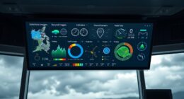

Advanced weather apps for gliders offer detailed graphical forecasts that help you interpret thermal activity, wind conditions, and lift zones easily. They use color-coded overlays, contour lines, and real-time data to highlight areas of strong or weak thermals, aiding your route planning and safety. By understanding these visuals, you can maximize lift, avoid hazards, and improve your soaring performance. Keep exploring to discover how these tools can elevate your flying experience even further.
Key Takeaways
- Use color-coded thermal overlays to quickly identify areas of strong lift and plan routes accordingly.
- Interpret contour lines indicating thermal activity and wind shear zones to optimize flight safety and performance.
- Leverage real-time data overlays to adapt to changing atmospheric conditions during flight.
- Recognize patterns of thermal strength and distribution to maximize lift and extend flight durations.
- Simplify complex weather data through graphical tools for faster, more informed decision-making in soaring flights.

When soaring through the skies as a glider pilot, having reliable weather information is essential for safety and performance. Modern advanced weather apps provide detailed graphical soaring forecasts that help you interpret conditions like thermal activity and wind shear. These visual tools are invaluable, making complex data accessible at a glance. By understanding these graphics, you can plan your flight path more effectively, ensuring you maximize lift and avoid hazardous zones.
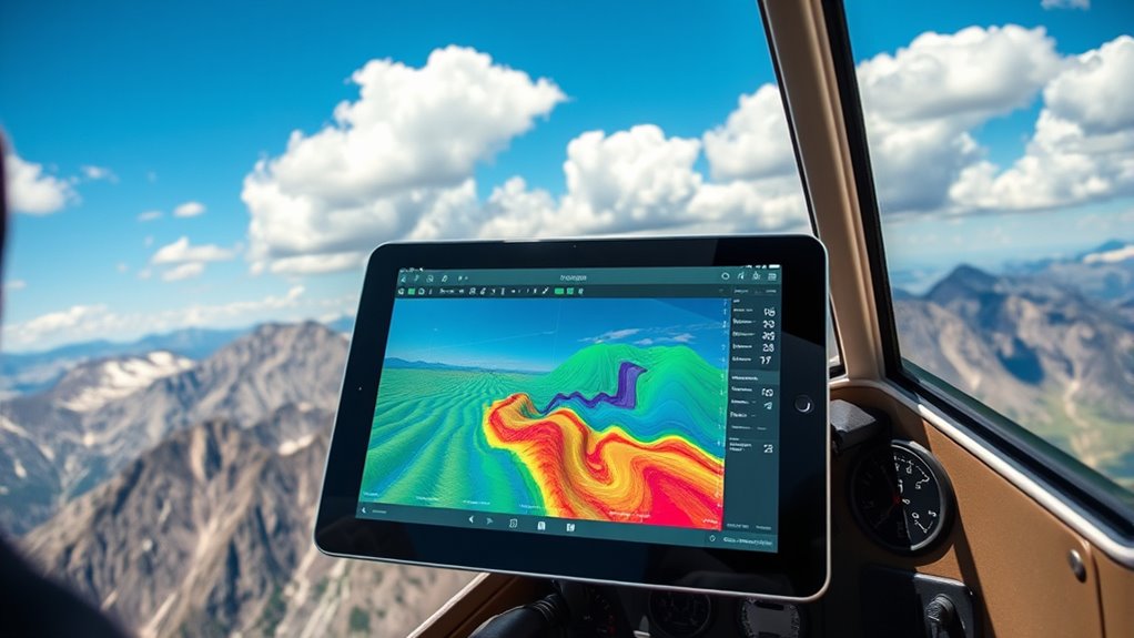
Thermal activity is a key factor in soaring, and graphical forecasts often display areas of thermal strength and distribution. When you see color-coded overlays or contour lines indicating thermal intensity, you gain immediate insight into where rising warm air is likely to support your flight. Recognizing patterns in these forecasts allows you to identify promising lift zones and plan your route accordingly. For instance, a forecast highlighting strong thermal activity along a ridge suggests ideal soaring conditions, while weak or patchy thermal signals warn you to look for alternative lift sources or adjust your altitude. Interpreting these thermal maps requires understanding that more intense thermal activity correlates with better gliding conditions, enabling longer flights and more efficient energy management. Additionally, some advanced weather apps incorporate real-time data overlays that update continuously during your flight, providing dynamic insights into changing atmospheric conditions.
Frequently Asked Questions
How Accurate Are Graphical Soaring Forecasts for Remote Locations?
Graphical soaring forecasts for remote locations can be quite accurate, especially when they incorporate satellite imagery and terrain modeling. These tools help you visualize cloud cover, wind patterns, and thermal activity, even in less accessible areas. However, keep in mind that local variations and sudden weather changes can still impact accuracy. Always cross-reference multiple sources and stay updated with real-time data for the best results during your flight.
Can These Weather Apps Predict Sudden Weather Changes During Flight?
You can’t rely solely on these weather apps to predict sudden weather changes, but they do improve your awareness. They offer storm prediction and turbulence alerts, helping you prepare for unexpected shifts. You stay vigilant, monitor real-time updates, and interpret graphical forecasts actively. While no app guarantees perfect foresight, combining alerts with your experience enhances safety and decision-making during your flight.
Are There Specific Apps Recommended for Beginner Glider Pilots?
For beginner glider pilots, apps with beginner-friendly interfaces and simplified forecast visuals are ideal. You should try apps like XCSoar or Windy, which offer easy-to-understand graphics and straightforward navigation. These apps help you grasp essential weather patterns quickly, reducing complexity. They’re designed to support your learning curve, ensuring you stay safe and confident during your flights while providing accurate weather data tailored for new pilots.
How Often Are the Weather Data Updates in These Apps?
The data update frequency in these apps varies, but most refresh their forecasts every 10 to 30 minutes, ensuring you get current information. The forecast refresh rate is typically designed to keep pace with changing weather conditions, so you can rely on timely updates during your flight planning. Keep in mind that more advanced apps may offer real-time data, giving you the latest insights for safer, more informed soaring.
Do These Apps Include Real-Time Alerts for Hazardous Weather Conditions?
Yes, these apps do include real-time hazard notifications, keeping you updated on dangerous weather conditions as they unfold. You can customize alerts based on specific hazards like turbulence or storm warnings, ensuring you’re only notified about what matters most to your flight plan. This feature helps you react promptly and stay safe, giving you peace of mind while soaring. Always review your alert settings before each flight for ideal safety.
Conclusion
Just like Icarus once soared toward the sun with daring ambition, you can harness advanced weather apps to elevate your gliding experience. By interpreting graphical soaring forecasts with confidence, you’ll navigate the skies wisely and safely. These tools are your modern wings, transforming complex data into clear, actionable insights. Embrace them, and let your journey through the clouds be as inspiring as the stories of legendary pilots who dared to dream beyond the horizon.