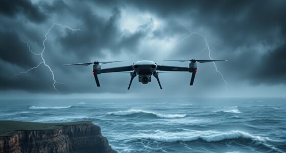

Using weather radar and satellite imagery helps you plan safer, more efficient routes by giving you real-time updates on storm movement, cloud formations, and severe weather changes. You can identify potential hazards early, avoid thunderstorms, heavy rain, or turbulence, and make informed decisions on rerouting if needed. This technology empowers you to navigate through challenging weather conditions confidently. Keep exploring how these tools enhance your weather awareness and route planning effectiveness.
Key Takeaways
- Weather radar and satellite imagery provide real-time data on storm location, movement, and development for informed route adjustments.
- They help identify severe weather threats like thunderstorms, hail, and heavy rain to avoid dangerous conditions.
- Satellite images reveal cloud formations and potential storm growth, enabling proactive rerouting before ground impact.
- Integrated weather data offers comprehensive situational awareness for safer, more efficient navigation planning.
- Advanced visualization tools, including high-resolution imagery, enhance decision-making and route safety during adverse weather.
Weather radar and satellite imagery have become essential tools for effective route planning, especially when you need to navigate through or around severe weather conditions. These technologies provide real-time insights into weather patterns, allowing you to make informed decisions before and during your journey. By utilizing storm tracking and cloud analysis, you can identify potential hazards early, minimizing delays and ensuring safety.
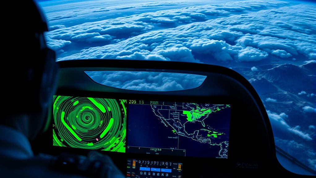
Storm tracking is a crucial component of modern route planning. Weather radar systems detect and monitor the movement of storms, showcasing their intensity, speed, and direction. When planning your route, you can use this data to avoid areas experiencing severe thunderstorms, heavy rain, or hail. Radar imagery reveals the development and evolution of storms, giving you a dynamic picture of weather conditions ahead. This proactive approach helps you reroute promptly, preventing encounters with dangerous weather phenomena that could jeopardize safety or cause delays.
Weather radar detects storm movement, aiding timely rerouting to ensure safety and avoid delays.
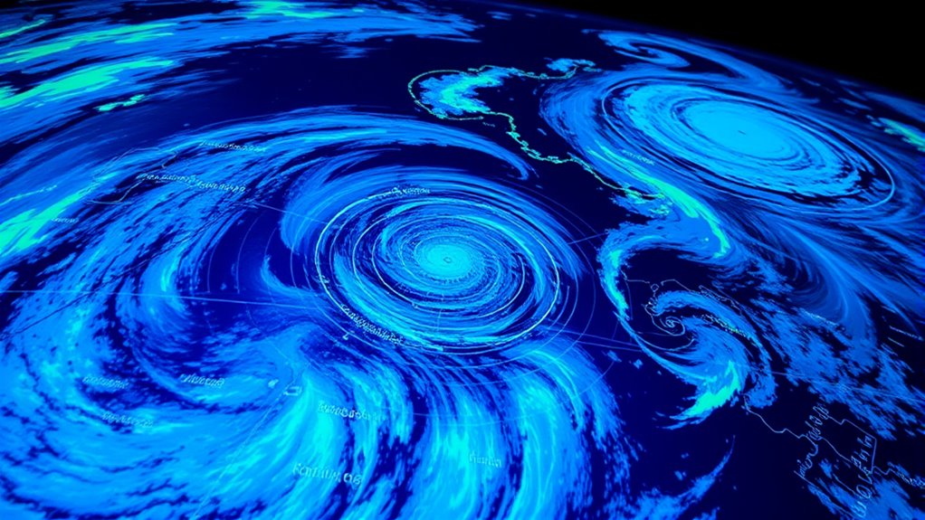
Cloud analysis complements storm tracking by providing detailed information on cloud formations and their potential for severe weather. Satellite imagery captures high-altitude cloud patterns, such as cumulonimbus clouds associated with thunderstorms. By examining these cloud formations, you can anticipate weather changes before they become visible at ground level. For instance, rapidly growing or towering clouds often signal impending storms, giving you valuable lead time to adjust your route. Cloud analysis also helps identify areas with heavy cloud cover that might obscure visibility or reduce satellite signal quality, which is vital for maintaining communication and navigation accuracy during your trip.
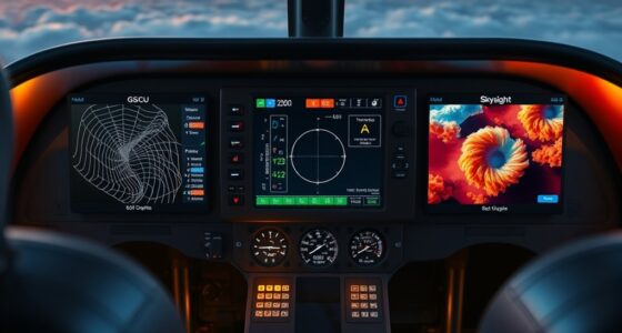
Combining storm tracking with cloud analysis enhances your overall situational awareness. You can interpret satellite images to see the broader weather system, such as approaching fronts or cyclones, and then zoom in on storm cells to assess their severity. This layered approach enables you to plan a safer route by avoiding weather systems that could cause turbulence, flooding, or road closures. Modern weather tools often integrate radar and satellite data into user-friendly interfaces, making it easier for you to visualize and interpret complex weather patterns quickly.
Ultimately, leveraging weather radar and satellite imagery for route planning empowers you to stay ahead of adverse conditions. Instead of reacting to weather disruptions, you proactively navigate around them. With detailed storm tracking and cloud analysis, you can choose safer, faster routes, reducing stress and increasing your confidence on the road or in the air. Knowledge of 4K resolution and HDR support enhances the clarity of satellite images, making it easier to interpret weather data accurately. This technology transforms weather data into a strategic advantage, helping you reach your destination safely and efficiently.
Frequently Asked Questions
How Accurate Are Weather Radar and Satellite Data for Short-Term Forecasts?
Weather radar and satellite data are quite accurate for short-term forecasts, especially when considering historical trends and data reliability. You can rely on these tools to detect imminent weather changes, like storms or heavy rainfall, within the next few hours. Their real-time updates help you make informed decisions, but keep in mind that no system is perfect, so it’s wise to monitor multiple sources for the most reliable route planning.
Can Weather Imagery Predict Sudden Weather Changes During a Route?
You can’t always predict sudden weather changes during a route, even with advanced tools. Storm prediction relies on cloud movement and radar data, but rapid shifts can still catch you off guard. As you travel, keep an eye on real-time satellite imagery and weather updates, knowing that unexpected storms may develop quickly. Staying alert and flexible helps you respond promptly, turning uncertainty into safety and peace of mind.
What Are the Limitations of Radar and Satellite Imagery in Mountainous Regions?
In mountainous regions, radar and satellite imagery face limitations like terrain interference, which can block signals and create blind spots. Resolution constraints also hinder detailed observation, making it harder to detect small-scale weather changes. You might miss rapid shifts or localized storms, reducing your ability to plan accurately. To improve safety, combine imagery data with ground reports and local weather forecasts, compensating for these inherent limitations.
How Frequently Are Weather Updates Available for Route Planning?
Weather updates for route planning are typically available every few minutes to hourly, depending on the source. You get real-time alerts that help you stay informed of sudden weather changes, and forecast intervals usually range from 15 minutes to an hour. This frequent updating allows you to make timely adjustments, ensuring safer navigation through challenging conditions, especially in areas prone to rapid weather shifts.
Are There Specific Tools or Software That Integrate Radar and Satellite Data Effectively?
You can find several tools and software that integrate radar and satellite data effectively, enhancing your route planning through advanced integrated mapping and data visualization. Programs like Garmin Pilot, ForeFlight, and SkyVector combine real-time radar, satellite imagery, and weather updates, giving you a clear visual overview. These tools help you make informed decisions quickly, ensuring safer, more efficient routes by providing detailed weather insights directly on your maps.
Conclusion
By harnessing weather radar and satellite imagery, you can navigate through swirling storms and clear skies with confidence. Picture yourself steering smoothly, avoiding dark clouds and turbulent winds, guided by a clear view of the sky’s secrets. These tools become your vigilant eyes, turning chaos into calm. With this real-time insight, you’re empowered to chart safe, confident routes, transforming formidable journeys into peaceful adventures beneath the vast, watchful sky.